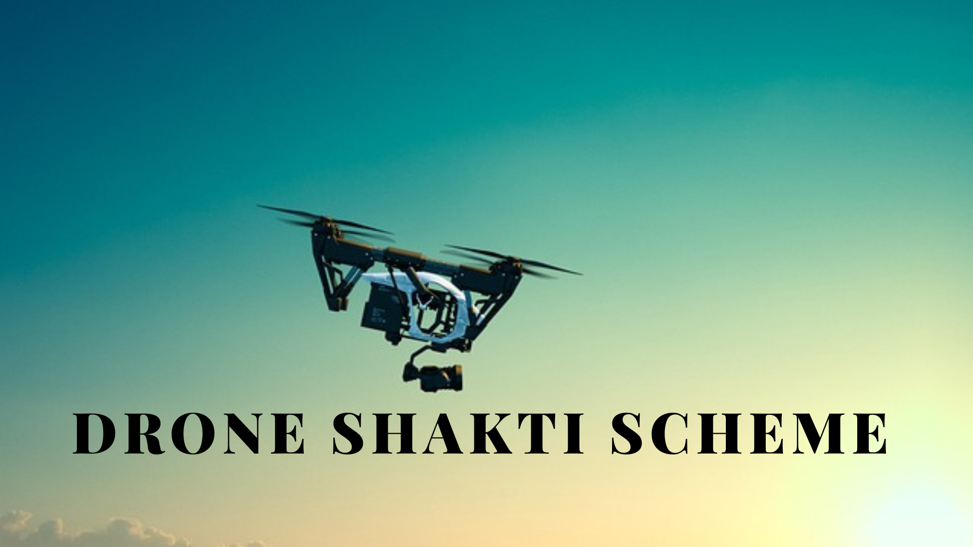
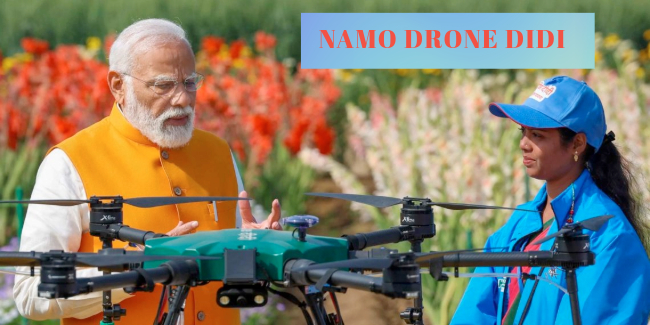
The SVAMITVA (Survey of Villages and Mapping with Improvised Technology in Village Areas) scheme is a transformative initiative launched by the Government of India to modernize land record management and empower rural India. Using drone technology, the scheme aims to map rural residential properties, providing property ownership rights and fostering economic growth at the grassroots level.
Background of the SVAMITVA Scheme
Launched on April 24, 2020, by Prime Minister Narendra Modi, the SVAMITVA scheme was designed to address challenges in rural land management, including disputes over property ownership and lack of formal documentation. By utilizing advanced drone technology, the scheme provides accurate mapping and property demarcation, a significant improvement over traditional methods.
Objectives of the Scheme
1. Property Ownership for Rural Residents:
The scheme issues property cards, or “Title Deeds,” to rural property owners, providing them with legal ownership and enhancing their economic security.
2. Reduction in Land Disputes:
Accurate mapping minimizes disputes related to property boundaries, which are common in rural areas.
3. Support for Development Projects:
With well-documented land records, governments can plan infrastructure and development projects more effectively.
4. Financial Empowerment:
Ownership rights enable property owners to access loans and other financial services, fostering entrepreneurship and economic independence.
How Drone Technology Powers SVAMITVA
1. High-Resolution Mapping:
Drones are used to capture high-resolution aerial images of villages, ensuring precise mapping of residential areas and property boundaries.
2. Survey Accuracy:
Advanced technologies like GPS and geospatial mapping tools integrated into drones ensure accurate land surveys, a challenge in traditional methods.
3. Cost and Time Efficiency:
Compared to conventional ground surveys, drone-based mapping is faster, cost-effective, and reduces manual errors.
4. Digital Records Creation:
Data collected by drones is processed to create digital property maps, which are stored in a central database accessible to authorities and residents.
Impact of SVAMITVA
1. Empowering Rural India:
By providing property rights, the scheme empowers millions of rural residents, improving their socio-economic status and boosting their confidence in dealing with financial institutions.
2. Transparent Land Governance:
Digitized records bring transparency to property transactions, reducing corruption and administrative inefficiencies.
3. Boosting the Rural Economy:
Property ownership opens avenues for economic activities, such as using land as collateral for loans to start businesses or invest in agriculture.
4. Streamlined Dispute Resolution:
Clearly defined property boundaries have significantly reduced disputes in areas where the scheme has been implemented.
Challenges and Solutions
1. Technological Adoption:
• Challenge: Lack of technical expertise in rural areas to interpret drone data and maps.
• Solution: Training programs and workshops have been organized to educate local authorities and residents.
2. Initial Resistance:
• Challenge: Some rural communities were hesitant about the use of drones due to privacy concerns.
• Solution: Awareness campaigns emphasizing the scheme’s benefits have mitigated fears.
3. Data Integration:
• Challenge: Integrating drone survey data with existing land records posed technical hurdles.
• Solution: Modern IT solutions and collaboration with geospatial technology experts have facilitated smoother integration.
Success Stories
Several states, including Uttar Pradesh, Haryana, and Maharashtra, have seen notable success with the SVAMITVA scheme. In Uttar Pradesh, over one million property cards have been distributed, fostering financial inclusion and reducing long-standing disputes.
Future of SVAMITVA
As the scheme progresses, the government plans to expand its scope to cover all rural properties across India. The integration of artificial intelligence and machine learning with drone technology could further enhance the accuracy and utility of land records.
Conclusion
The SVAMITVA scheme, powered by drones, is a landmark initiative that promises to transform rural India by addressing age-old issues in land ownership. By combining innovative technology with policy reform, it provides a robust foundation for rural empowerment, economic growth, and transparent governance. The scheme sets a global example of how emerging technologies can drive socio-economic development in underserved communities.


No Comments Yet
Login or Register to post comments