Mapping and Surveying
Mapping drones are equipped with specialized software and high-resolution cameras to generate accurate geographical maps. They are ideal for industries like construction, real estate, and environmental studies, offering detailed topographical and spatial data. Many of these drones support autonomous flight plans, efficiently covering designated areas with minimal manual intervention. With advanced capabilities such as 3D mapping, terrain modeling, and precise surveying applications, these drones provide critical insights, making them essential tools for professionals seeking accuracy and efficiency in large-scale mapping projects.
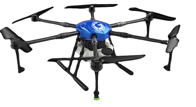
Kisan Agri Drone - Garuda Aerospace
AI-powered drone for precision agriculture with 500-1500m flight radius, 8-10L spray tank, 0-10m/s speed, 49.21-82.021ft altitude…
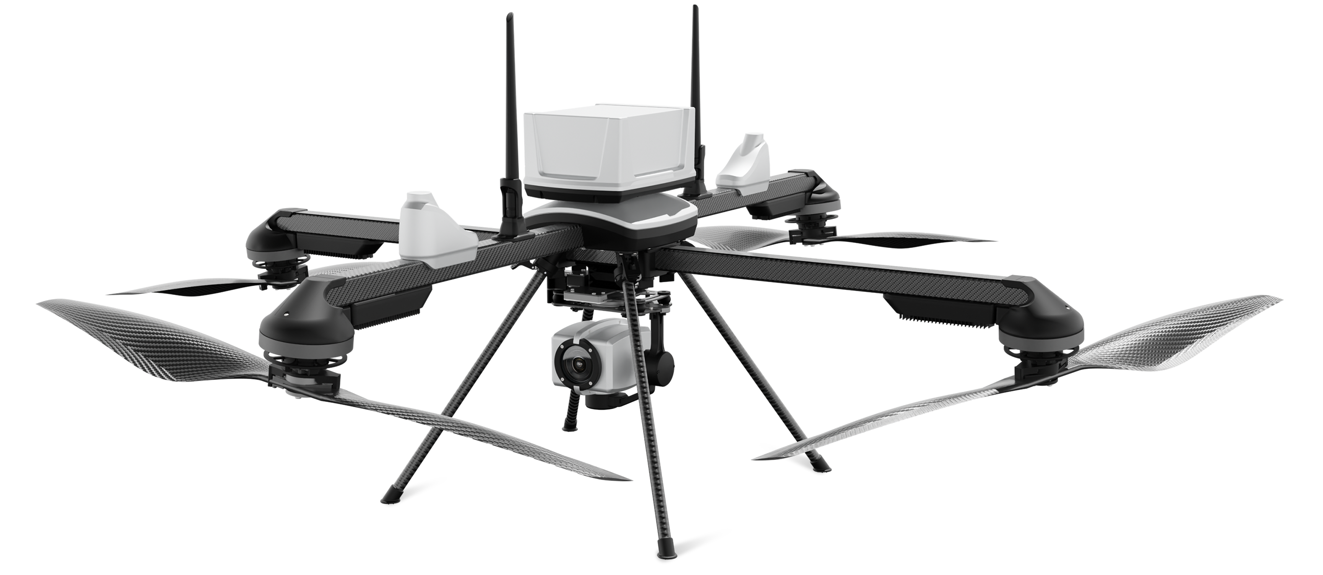
NETRA V4 PRO - ideaForge
Designed for mission-critical applications, the NETRA V4 PRO ensures reliability and precision
No Reviews Yet
Staredge - Hubblefly Technologies
Staredge is a DGCA-approved, NPNT-compliant quadcopter system fitted with a Sony Alpha A6000 camera. It is engineered to provide…
No Reviews Yet


