
 English
1.5 Kilometers
Remote Controller Range(km)
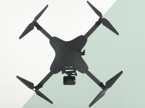
This is a premier aerial survey drone suitable for cartography and remote sensing. This combines trailblazing technology with accessible features. Thus, this drone is the ultimate tool for capturing high-resolution images. The cost of this drone in the Indian market is around INR 472,000.
Key Features & Benefits
- Specifications:
- - In-Air Time: This small-category drone can stay in the air for around 40-45 minutes.
- - Maximum Attainable Height: The height that can be achieved by this drone at max is 120 metres.
- - Range of the Drone: The total range of this survey drone is about 1.5 kilometres.
Use Cases / Who Should Buy
- Top Use Cases:
- - Topographic Mapping: This drone can be used to produce detailed terrain maps for construction, mining, and agricultural purposes.
- - Land Surveying: It can be useful in accurately measuring and mapping property boundaries.
- - Environmental Monitoring: When it comes to monitoring and assessing environmental changes over time, this drone can be a real handful.
- - Disaster Response: During disasters, it can quickly survey and map affected areas to facilitate an efficient response.
Control & Connectivity
Remote Controller Range(km)
1.5 Kilometers
Sensors & Navigation
Camera
23 Megapixels
Share :
Add New Comment